Crop Monitoring Software

Increase Efficiency

Satellite crop monitoring allows farmers to quickly and accurately assess the health, growth, and yield of crops over large areas of land. This can help them make informed decisions about where and when to apply fertilizers and pesticides, as well as where to focus their efforts for the best results.

Cost Savings

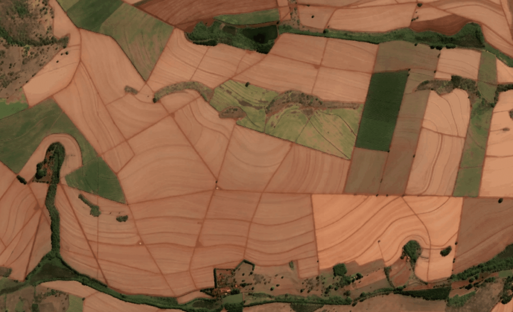
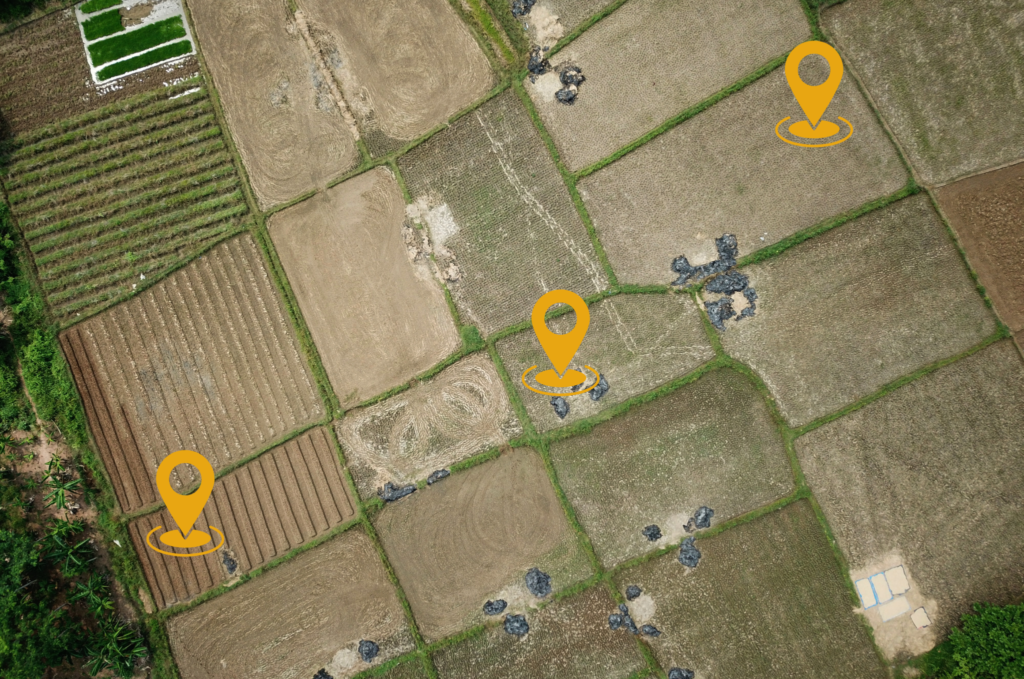
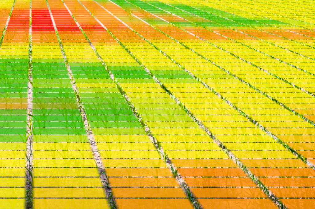
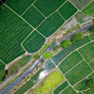
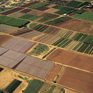
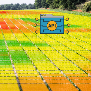
By using satellite data to identify areas of crops that need more or less attention, farmers can save money on fertilizers, pesticides, and other inputs. This can help them increase profitability and reduce waste. Map My Crop currently helps farmers and agro corporate reduce the crop input cost by 40 % using the advanced VRA Maps which divides the farms into 3 to 7 zones depending on user.

Better Yield

With better information about crop health and growth, farmers can make adjustments to their farming practices to optimize yield and quality. This can lead to higher profits and more consistent crop quality using sustainable agriculture practices. We help grow better yield sustainably using our AI ML Model with focus on low productivity areas to boost output.

Early Detection

By monitoring crops on a regular basis, farmers can identify problems such as disease, pests, or water stress early on. This allows them to take corrective action before the problem becomes more severe and affects yield.

Customized Recommendations

Real-time agriculture advisory can be customized to the specific needs of each farmer and each field. This can help farmers to target their efforts more effectively and make the most of their resources.

Improved Decision-Making:

Real-time agriculture advisory provides farmers with the information they need to make quick and informed decisions about their farming practices. This can help them optimize crop yield, reduce risk, and increase profitability.

Satellite Monitoring

Satellite imagery with its benefits can present situations that can not be seen with regular observation.

  • Industry Highest Satellite Imagery Resolutions
  • 40 + Maps which help you understand grow stages status, nitrogen, water, moisture,etc.
  • Multiple Base Maps
  • Using 6+ Satellites including all Weather Satellite
  • 3-5 Days Satellite Revist time.

AI Based Weather

Our Hyperlocal forecasting is an AI-solution that takes the context of each demand driver within each individual location into account to make accurate demand forecasts on the most granular level

  • Hyperlocal Weather
  • Tracking 30 + Weather Data Layers
  • High-resolution forecasts for up to 10 days ahead
  • 20+ Years Historical Data
  • Alert on Damaging weather conditions at fields, allowing farmers to minimize risks

Scouting

Scouting is a key component of integrated pest management (IPM) in agriculture, which involves monitoring crops to identify and manage pest and disease outbreaks before they cause significant damage
  • Identify red patches in your farm using our maps to identify problem areas
  • Field scouting involves physically inspecting crops in red area to identify problems.
  • Get ideal location to setup Traps can be used to monitor pest populations
  • Help farmers identify and manage pest and disease outbreaks before they cause damage
  • Centralised communication, share with team and share with community.

VRA Maps

Variable rate application (VRA) is a precision agriculture technique that involves applying inputs such as fertilizers and pesticides at varying rates across a field, based on the specific needs of different areas of the field. VRA can help optimize crop yields and reduce input costs, as it ensures that crops receive the right amount of inputs in the right places.
  • Get maps that indicate the appropriate rates of inputs for each area of the field
  • Productivity Maps, Vegetations, Productivity Maps and so on.
  • Compatibility with top manufacturers equipment
  • Set rate for ag input product, calculate product cost, use industry standard equations or create your own
  • Auto Identify areas of the field that have different crop growth patterns or nutrient requirements

SOME OF THE IMPORTANT FEATURES OF MAP MY CROP

Satellite Monitoring

Weather Insights

3-5 Satellite Imagery Revisits

Zoning

1m Ag Satellite Imagery

Farmers Community

Farm Insights

Auto Farm Boundary Detect

Crop Guide

Multiple Language Ready

API Ready

Market Rates